
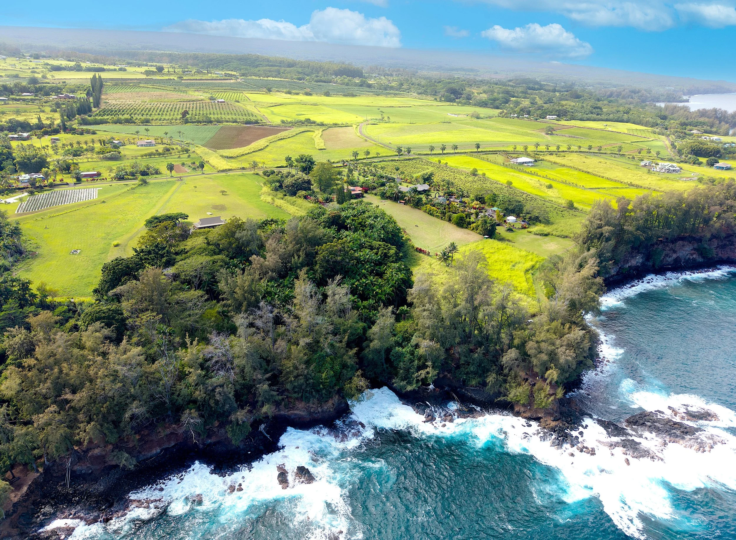
Aerial Intelligence for Real Estate, Construction, and Geospatial Mapping
FAA Part 107-compliant drone services, delivering accurate visuals and actionable geospatial data across Hawaii Island
GeoFly Hawaii provides professional drone photography and mapping services for real estate professionals, contractors, engineers, and property owners. Using advanced UAV platforms and industry-standard workflows, we deliver reliable aerial imagery, inspections, and survey-grade mapping to support informed decision-making.
Have a question?
To find out more about our services, fill out this form and we will be in touch shortly. We can’t wait to hear from you!